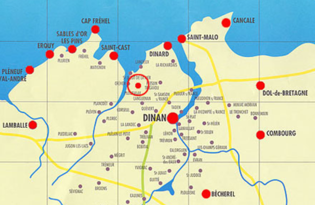
Map of the Côte d’Emeraude

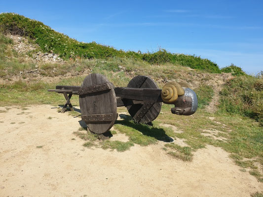
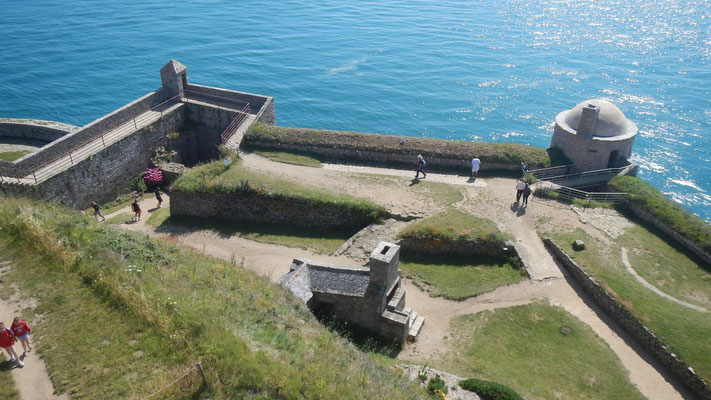
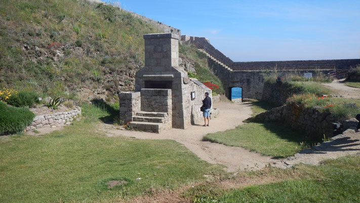
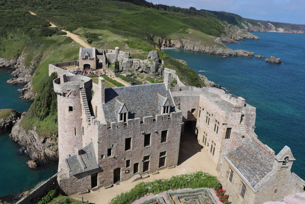
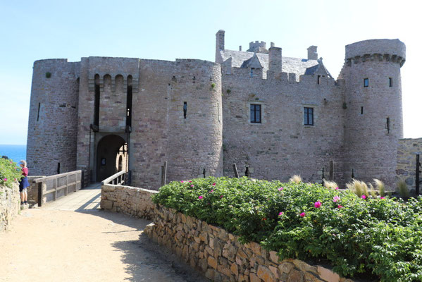
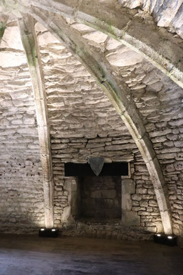
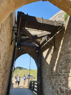
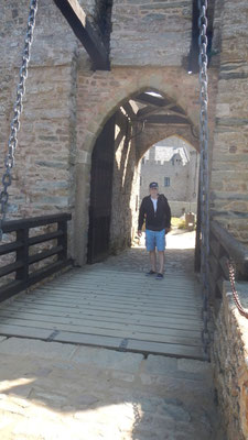
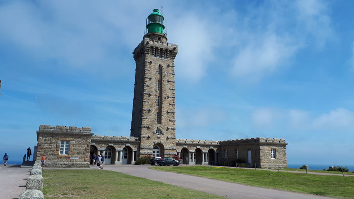
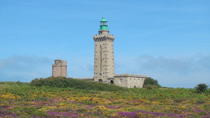
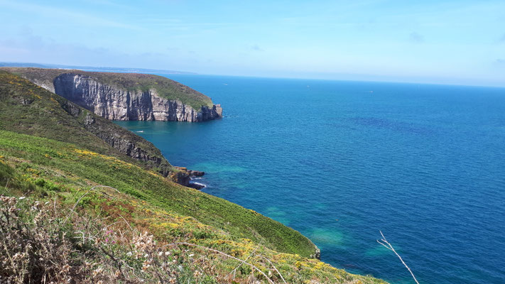
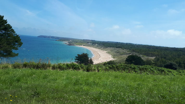
Fort La Latte (XIV century) and Cap Frehel lighthouse and views. More about the two lighthouses (in French).

Saint-Brieuc.
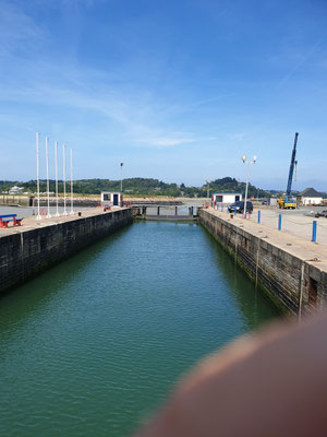
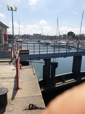
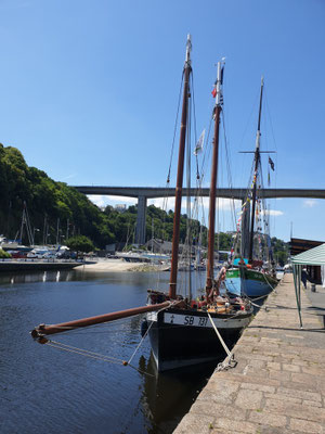
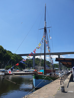
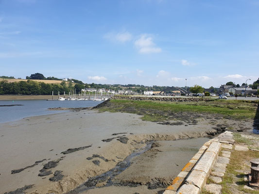
Paimpol, harbor and its lock at low tide.


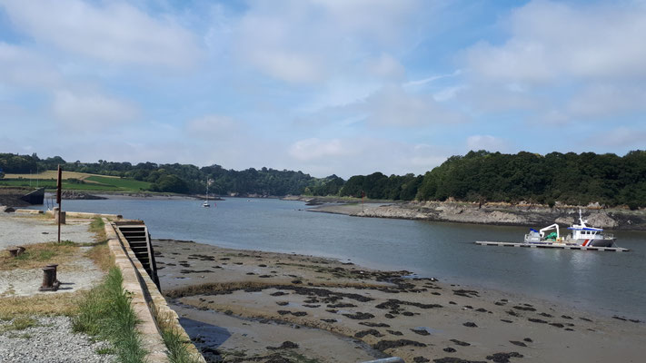
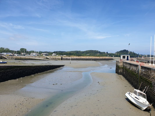
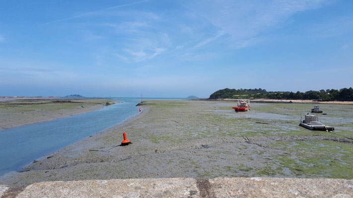
Lézardrieux, with strong currents. This harbor is 6 km from the coast. Here at low tide.